Frankie Braun · 27 September 2026
Satellite Imagery Tracks Cedar Tree Migration Due to Shifting Climate Conditions in the Hills
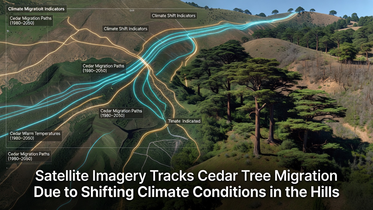
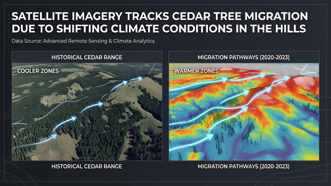
Researchers have used satellite data to document cedar tree migration patterns in various hilly regions, where species respond to changing temperature and precipitation levels by shifting their ranges upslope, and studies spanning multiple decades reveal consistent trends in vegetation boundaries moving to higher elevations. Data from repeated orbital passes shows how cedar populations expand into previously cooler zones while retreating from lower areas that have become warmer and drier over time.
Methods Behind the Tracking Process
Teams at institutions analyzing long-term records rely on multispectral sensors aboard satellites like those operated by NASA and the European Space Agency to measure changes in forest canopy density and species composition through indices such as NDVI, which capture reflected light patterns that distinguish cedar stands from surrounding vegetation, and these observations get cross-referenced with ground surveys to confirm migration signals. Analysts process imagery collected at regular intervals to map edge shifts in cedar distributions, revealing annual advancement rates that average several meters upslope in monitored hill systems.
Climate records from the same periods indicate rising average temperatures and altered rainfall patterns that align with these movements, since cedar seedlings establish more successfully in zones where frost risks decrease and growing seasons lengthen. Observers note that seed dispersal by wind and wildlife contributes to the gradual relocation, although establishment success depends on soil conditions and competition from other plants that also respond to the same environmental cues.
Key Findings from Recent Analyses
In September 2026 a multi-year assessment covering hilly landscapes in western North America compiled satellite archives from 2005 onward and identified measurable upslope displacement of cedar boundaries by up to 15 meters per decade in several study areas, with the strongest signals appearing on south-facing slopes where warming effects concentrate. Figures reveal that lower-elevation cedar patches declined in density while new growth appeared at elevations previously dominated by different conifer or shrub communities.
Additional layers of data from weather stations show correlated increases in summer drought stress at lower sites, which reduces cedar seedling survival rates and favors species better adapted to drier conditions. Researchers compare these patterns against historical distribution maps to separate climate-driven migration from other factors such as land-use changes or fire history, and the resulting models project continued shifts if temperature trends persist.
Regional Examples and Supporting Data
One study area in the inland northwest hills demonstrated cedar expansion into subalpine meadows that had remained stable for decades prior, while another site near coastal ranges showed retreat from valley bottoms accompanied by upslope infilling. These cases illustrate how topography influences migration speed, since steeper gradients allow faster elevational movement over shorter horizontal distances compared with gentler terrain.
Government agencies including the U.S. Geological Survey contribute elevation and land-cover datasets that help refine the satellite interpretations, and academic groups integrate these records with species distribution models to forecast future boundaries. Data indicates that cedar migration rates vary by subspecies and local microclimates, with some populations advancing more rapidly where moisture remains adequate at higher elevations.
Broader Context of Vegetation Shifts
Similar patterns appear in other conifer species across comparable hill environments, suggesting that cedar responses form part of larger biome adjustments driven by the same climatic variables. Satellite monitoring provides the spatial scale needed to detect these changes before they become obvious through field observation alone, allowing resource managers to track cumulative effects across entire watersheds.
Soil moisture measurements taken alongside imagery confirm that cedar establishment correlates with areas retaining higher water availability during critical growth periods, and this factor interacts with temperature to determine viable migration corridors. Analysts continue to refine algorithms that distinguish cedar from co-occurring trees using finer spectral resolution, which improves the precision of migration maps released in periodic updates.
Conclusion
Ongoing satellite programs supply the continuous datasets required to monitor cedar tree movements in hilly terrain as climate conditions evolve, and the accumulated evidence shows consistent upslope shifts tied to temperature and moisture changes across multiple regions. These observations support refined predictive models that incorporate both remote sensing and field validation to anticipate future forest compositions.